


Description
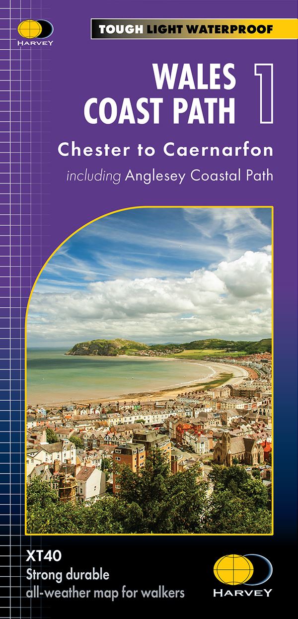
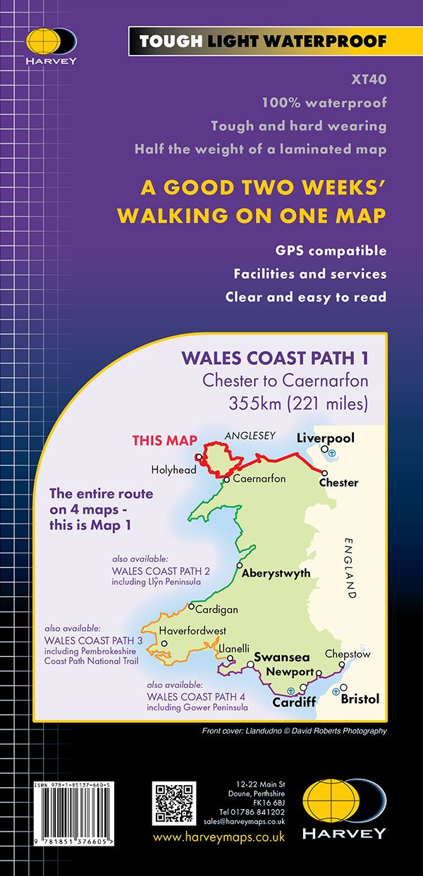
The entire route of the 870 mile long route Wales Coast Path is now covered by four XT40 maps at a scale of 1: 40000. Map 1 includes the Anglesey Coastal Path, Map 2 includes the Llyn Peninsula, Map 3 includes the Pembrokeshire Coastal Path and Map 4 includes the Gower Peninsula. Printed on tough 100% waterproof, tearproof paper, they are lightweight, detailed, clear and easy to read and each offers a good two weeks’ walking with useful information on accommodation and services. They are also GPS compatible.
Details
- Author: Harvey Maps
- Publisher: Harvey Map Services
- Format: Paperback
- Publication Date: 01/05/2023
- ISBN: 9781851376605
- B-Code: B069304
- Illustrated:
- Dimensions: 243x116mm
Size

