Description
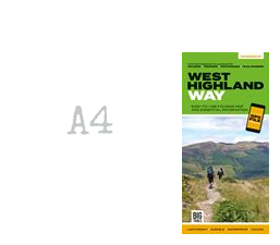
This lightweight, waterproof, durable and easy-to-use folding map features all the essential information for a successful walk of the West Highland Way, including 1:40,000-scale mapping for the linear route starting in Milngavie and finishing in Fort William. It also includes a detailed elevation profile and route planner, safety advice, terrain information and an accommodation directory, and a link to a GPX file download.
Details
- Author: Vertebrate Publishing
- Publisher: Vertebrate Publishing
- Format: Paperback
- Publication Date: 05/11/2020
- ISBN: 9781839810329
- B-Code: B053815
- Pages: 36
- Dimensions: 242x116mm
Size