

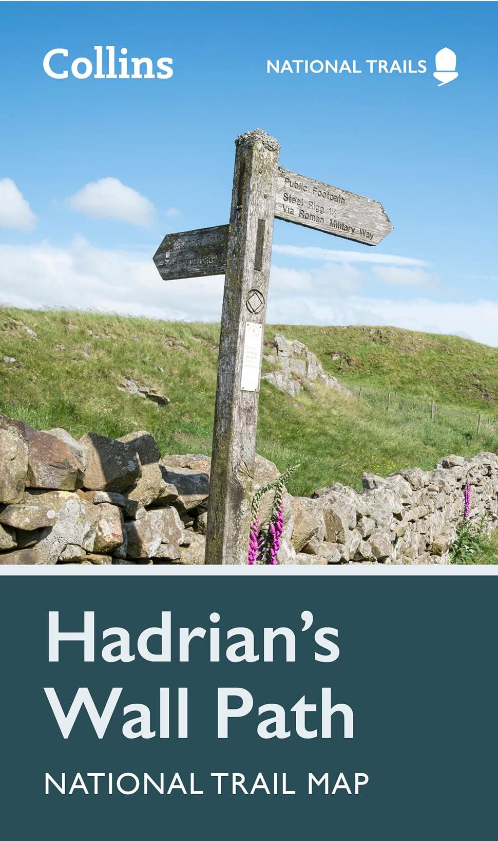
Description
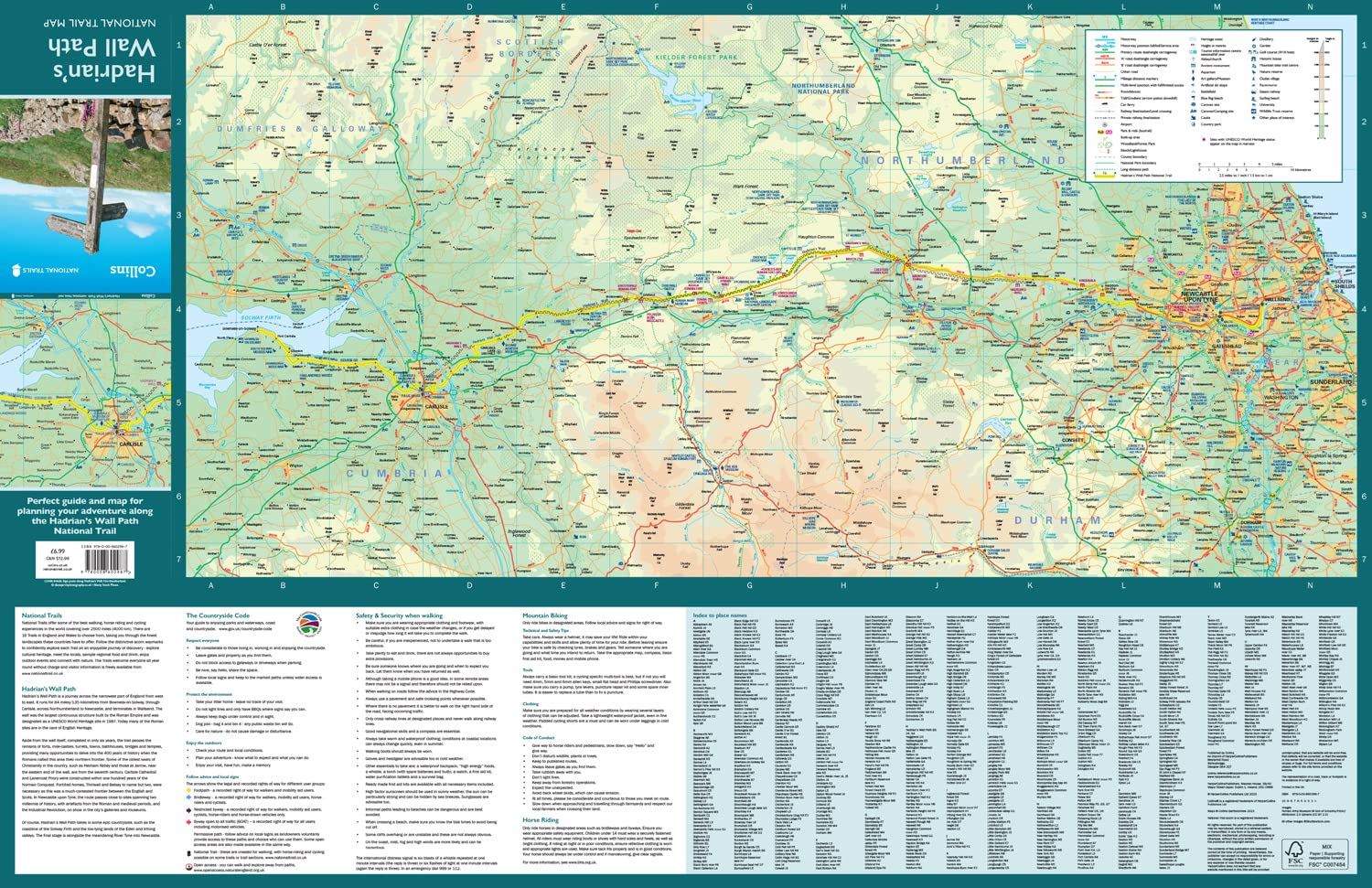
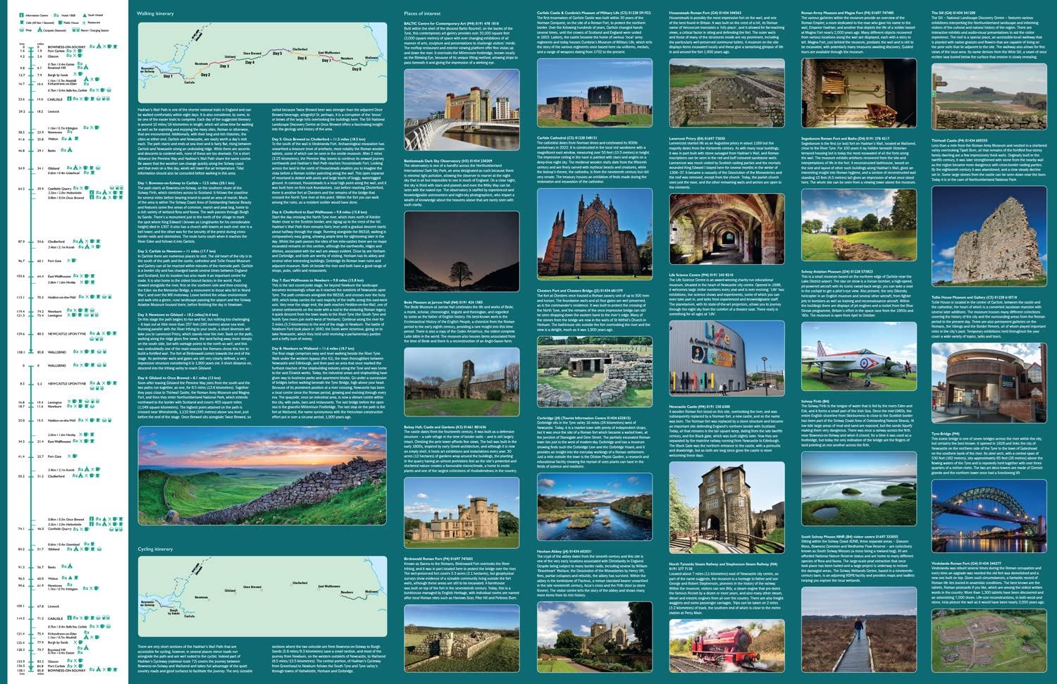
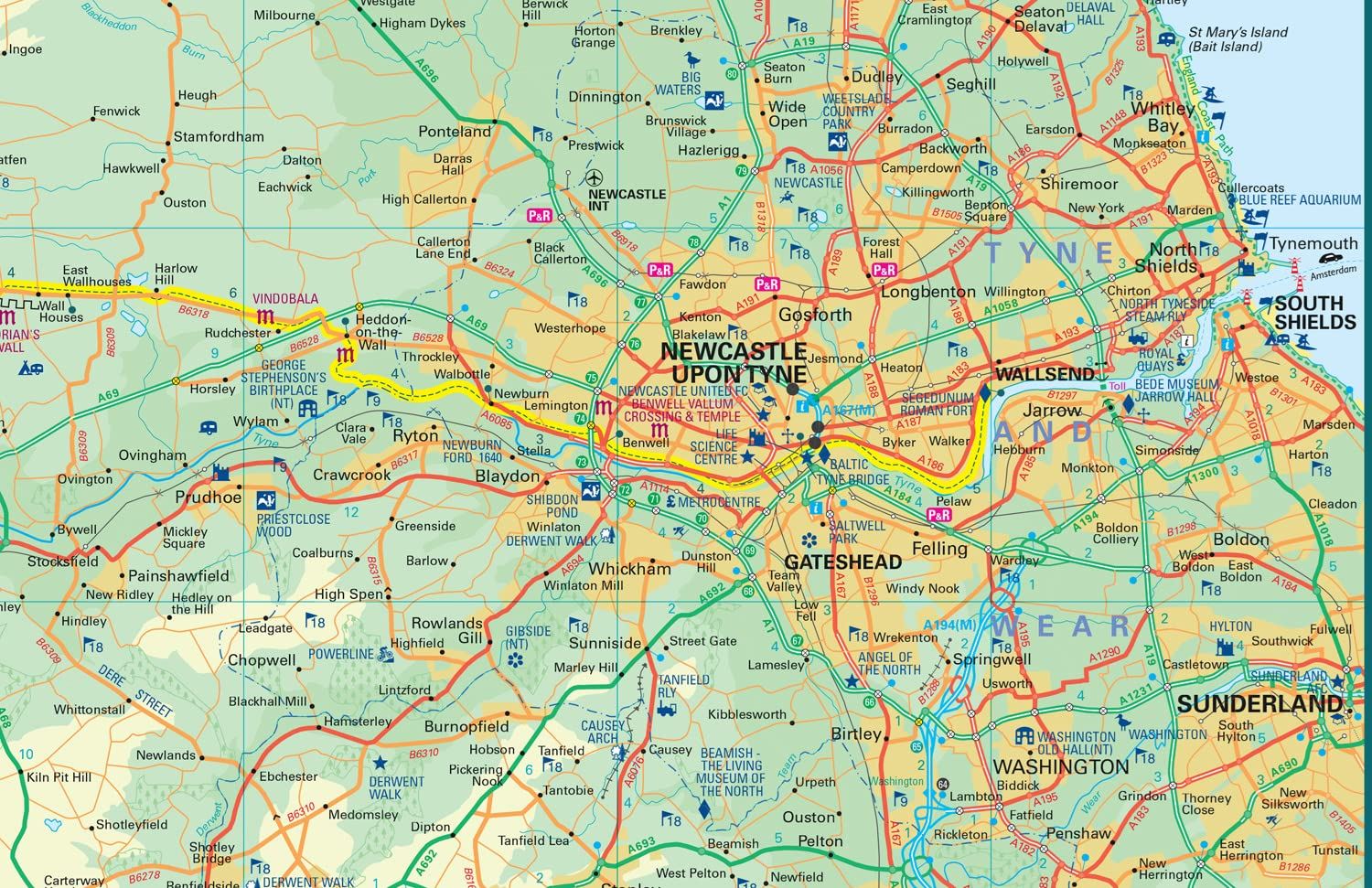
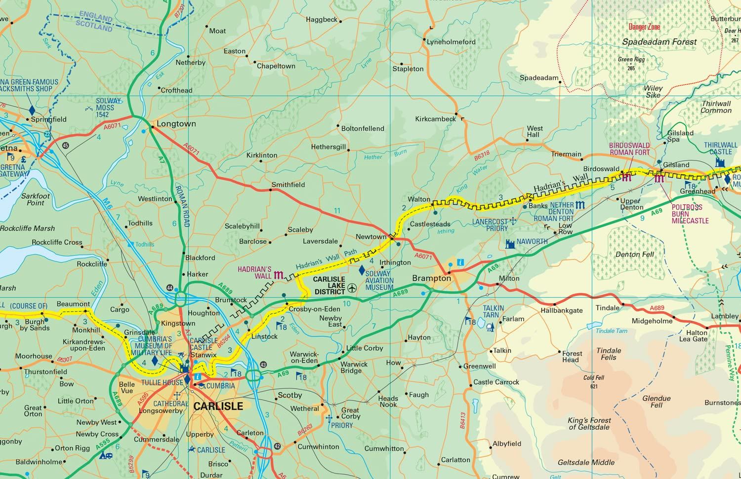
Part of the National Trail network, the Hadrian’s Wall Path runs 84 miles (135 km) between Wallsend in Newcastle and Bowness-on-Solway, encountering remains of Roman forts and milecastles and splendid bridges. Map features include highlighted places of interest with detailed descriptions and photographs; index to more than 400 cities, towns and villages; route mapping and suggested itinerary; advice on safety and the countryside code.
Details
- Author: Collins Map
- Publisher: HarperCollins Publishers
- Format: Paperback
- Publication Date: 16/02/2023
- ISBN: 9780008602987
- B-Code: B068746
- Illustrated: Colour map
- Pages: 198
- Dimensions: 198x115mm
Size