

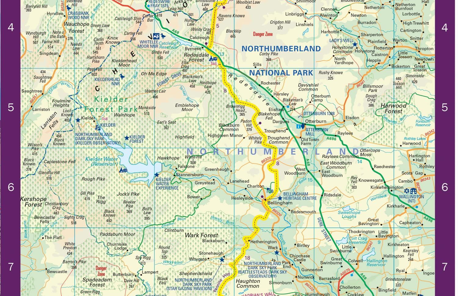
Description
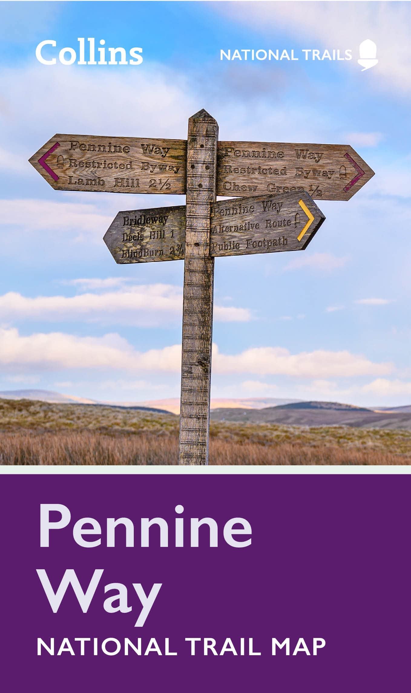
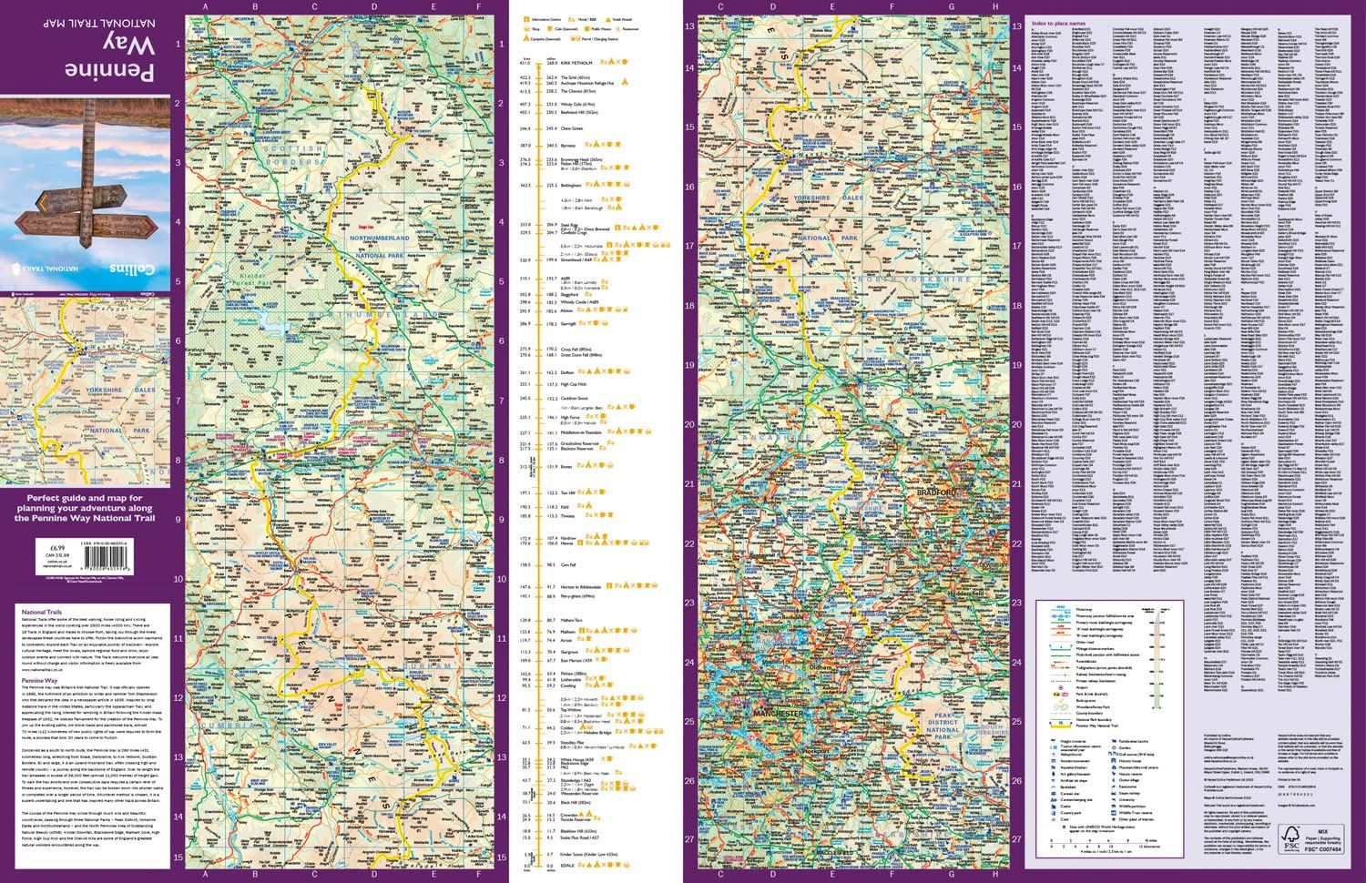
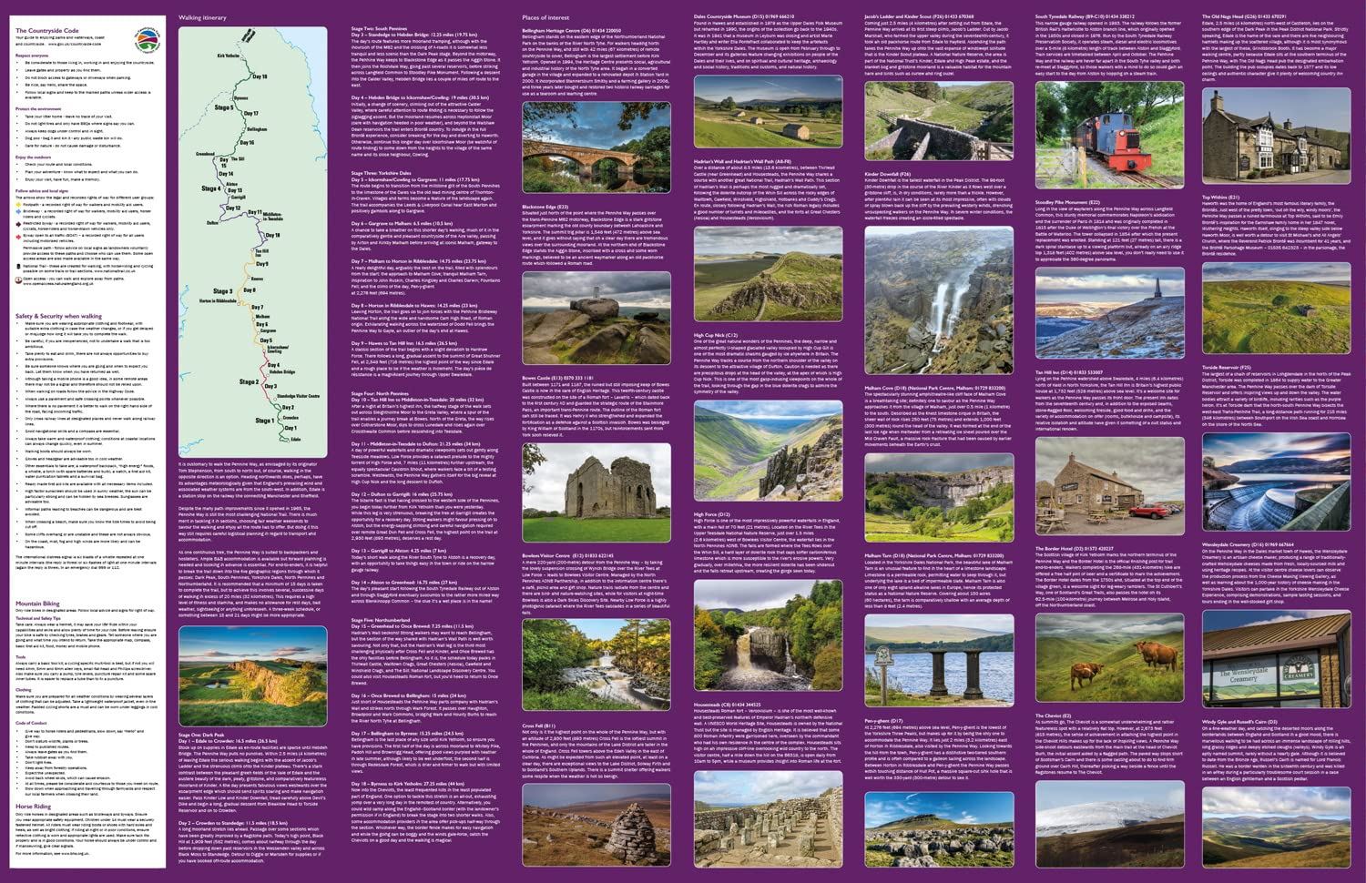
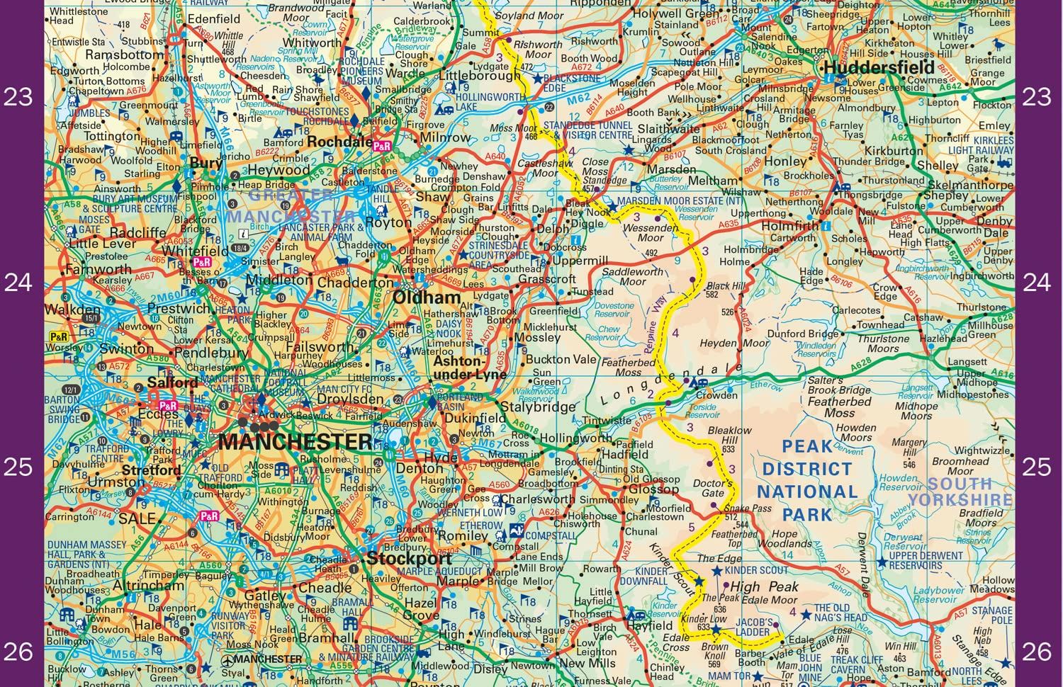
The Pennine Way is the oldest of the National Trails and links the Peak District National Park with the Cheviot Hills. It runs 268 miles (431 km) between Edale in Derbyshire and Kirk Yetholm, just inside the Scottish Borders. This map’s features include highlighted places of interest with detailed descriptions and photographs, such as Hadrian’s Wall, Tan Hill, and Cauldron Snout; index to cities, towns and villages; clear route mapping at 5 miles to 1 inch (3 km to 1 cm); suggested itineraries; advice on safety and the countryside code.
Details
- Author: Collins Maps
- Publisher: HarperCollins Publishers
- Format: Paperback
- Publication Date: 16/02/2023
- ISBN: 9780008602956
- B-Code: B068743
- Illustrated: Colour map
- Pages: 2
- Dimensions: 198x115mm
Size