

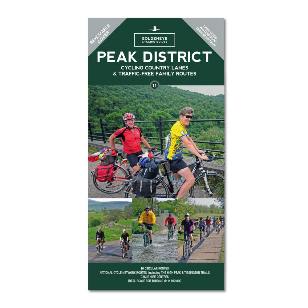
Description
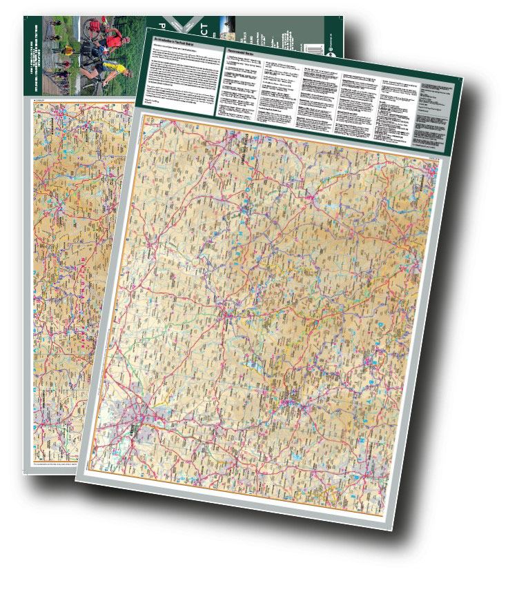
This tear-resistant, waterproof map features 16 circular traffic-free and family routes on the National Cycle Network including The High Peak and Tissington Trails. Map scale is 1:000k and shows tourist attractions and points of interest as well as bike shops, cycle hire, and tea rooms.
Details
- Author: Goldeneye
- Publisher: Goldeneye Books (DROPPED)
- Format: Paperback
- Publication Date: 01/05/2021
- ISBN: 9781859652787
- B-Code: B056351
- Illustrated: Colour maps and photographs
- Pages: 24
- Dimensions: 245x125mm
Size