

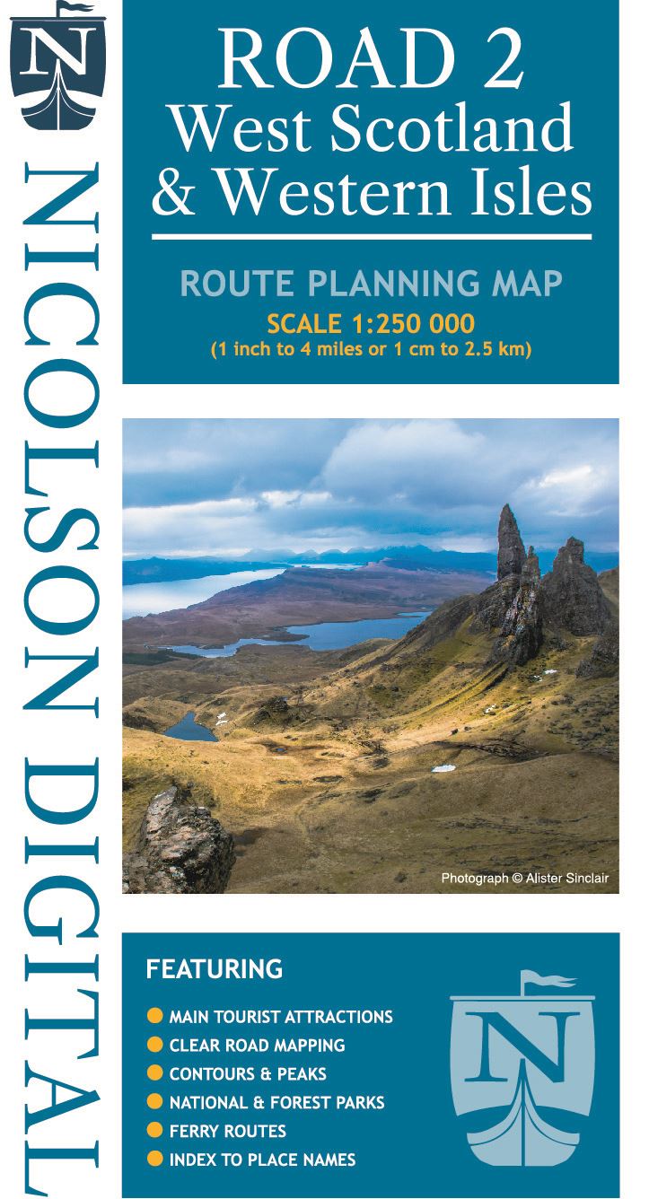
Description
1/250000 scale route mapping based on Ordnance Survey data. Covering the Outer Hebrides and West coast of Scotland from Cape Wrath to Islay.
Details
- Author: Nicolson Maps
- Publisher: Nicolson Maps
- Format: Paperback
- Publication Date: 03/08/2020
- ISBN: 9781912046591
- B-Code: B050154
- Dimensions: 244x148mm
Size