

Description
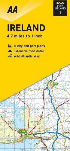
This folded, double-sided sheet map shows the detailed road network with toll motorways and dual carriageways clearly identified. As well as presenting an array of places of interest for tourists and locals alike, the mapping includes motorway service areas, AA-inspected campsites, viewpoints and picnic sites. Gaeltacht regions are highlighted with place names shown in both English and Irish. The map includes 6 city plans of Dublin, Belfast, Cork, Derry Londonderry, Sligo and Waterford and 5 port plans. Additionally, a separate map of Ireland features relief shading with key physical landmarks.
Details
- Author: Automobil Association
- Publisher: AA Publications
- Format: Hardback
- Publication Date: 01/04/2020
- ISBN: 9780749582319
- B-Code: B050132
- Pages: 2
- Dimensions: 246x110mm
Size