

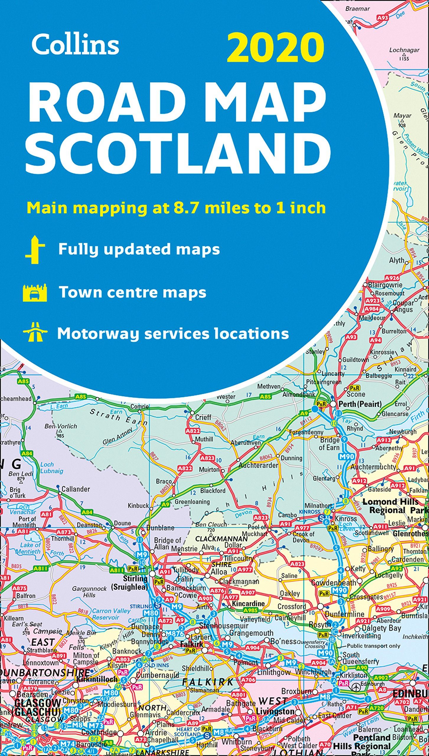
Description
Full colour map of Scotland at 8.7 miles to 1 inch (1:550,000) with clear, detailed road network and administrative areas shown in colour. The map covers the whole of Scotland and part of Northern England conveniently on one side, and is ideal for reference or route planning. Features road distances; town and city names, rivers, railway lines and canals; seven city/town centre street plans with places of interest; index of place names; mileage chart; car ferry routes; key in English, French and German.
Details
- Author: Collins
- Publisher: HarperCollins Publishers
- Format: Paperback
- Publication Date: 13/06/2019
- ISBN: 9780008318741
- B-Code: B040914
- Illustrated: Colour map
- Pages: 1
- Dimensions: 245x140mm
Size