

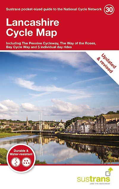
Description
This pocket sized, folded map of the National Cycle Network includes clearly mapped on-road and traffic-free paths, easy to read contours and detailed town insets. 1:110,000 scale; folded 155mm x 99mm; flat 792mm x 630mm. It covers the Lancashire area of the north west region of England including Preston, Rochdale, Lancaster, Burnley and Colne. The map also features 5 day rides with directions and a description of the area, highlighting key cycle routes, local history and places of interest.
Details
- Author: Sustrans
- Publisher: Cordee
- Format: Paperback
- Publication Date: 26/09/2018
- ISBN: 9781910845578
- B-Code: B045174
- Illustrated: Sheet map
- Dimensions: 155x100mm
Size